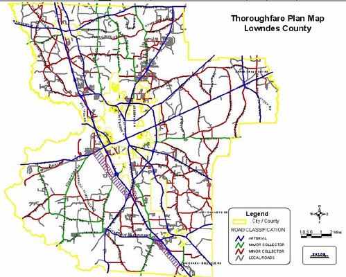
The first map below is from the Lowndes County Thoroughfare Plan dated January 28, 2003; this is the version currently on the county’s public web pages. It plainly shows Quarterman Road (near the top center) as a local road.
The Georgia Department of Transportation (GDOT) told me that it is possible to classify parts of a road differently, especially when the major source of traffic is (in GDOT’s example) a subdivision that is located closer to one end. This is confirmed by the second map, from the South Georgia Regional Development Center (SGRDC), Continue reading
